Detroit
DETROIT
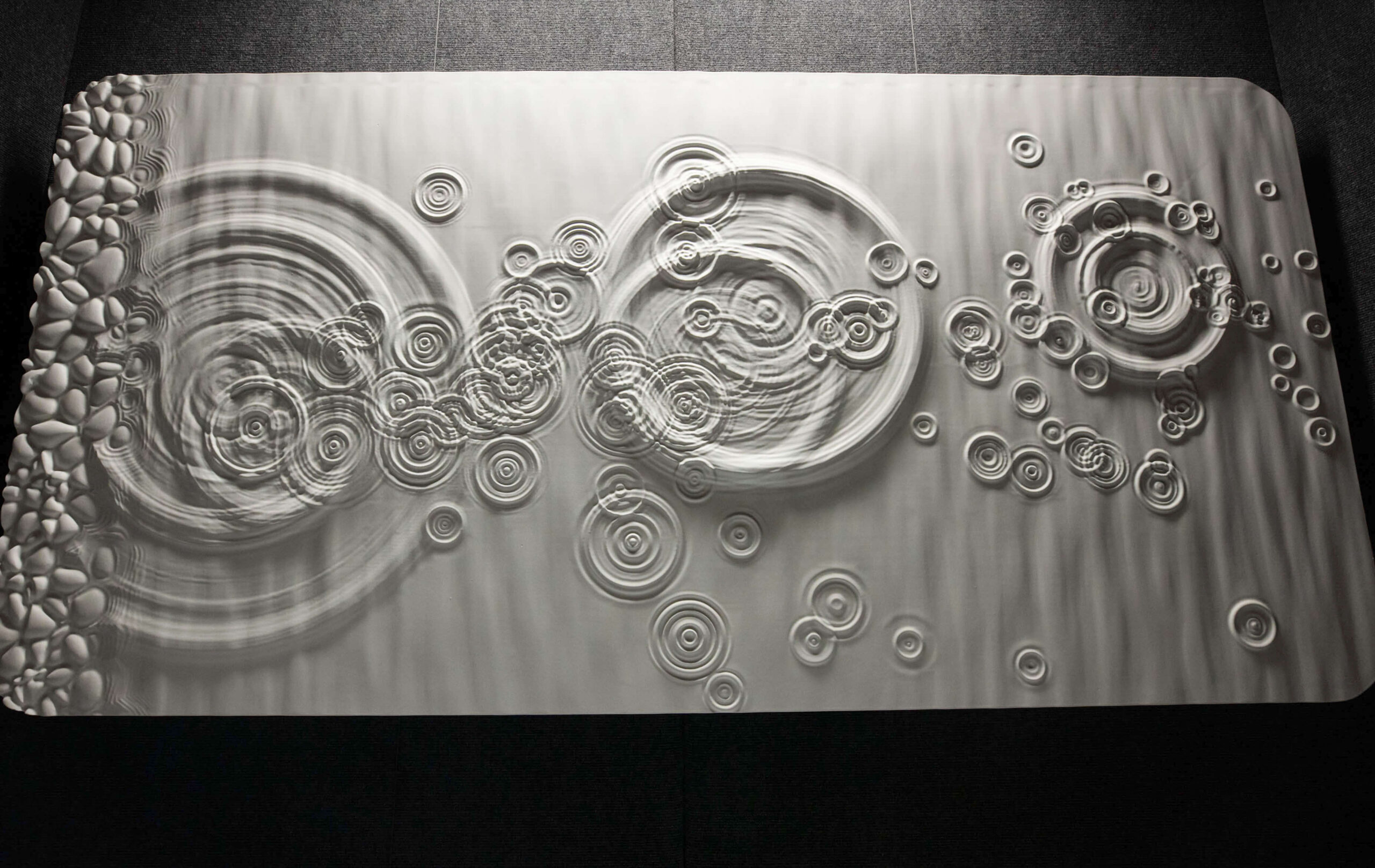
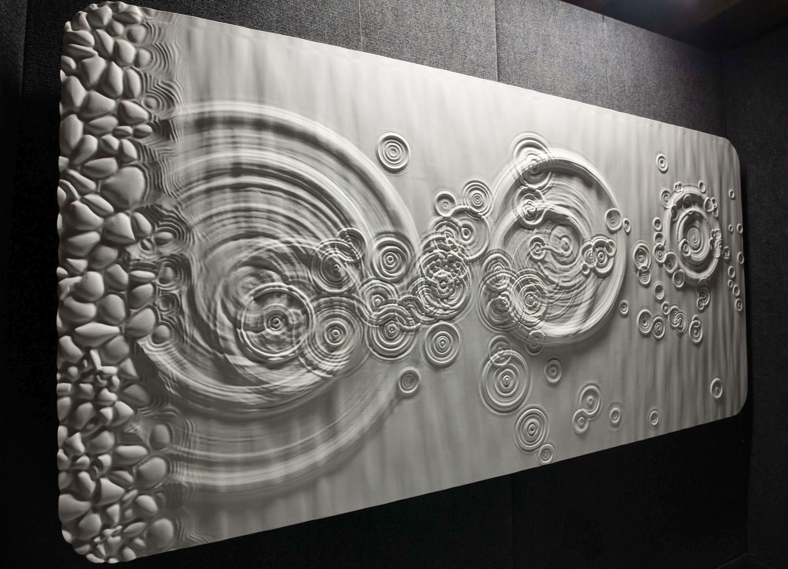
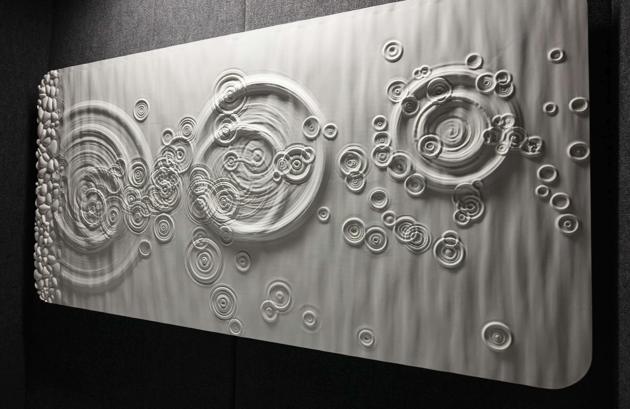
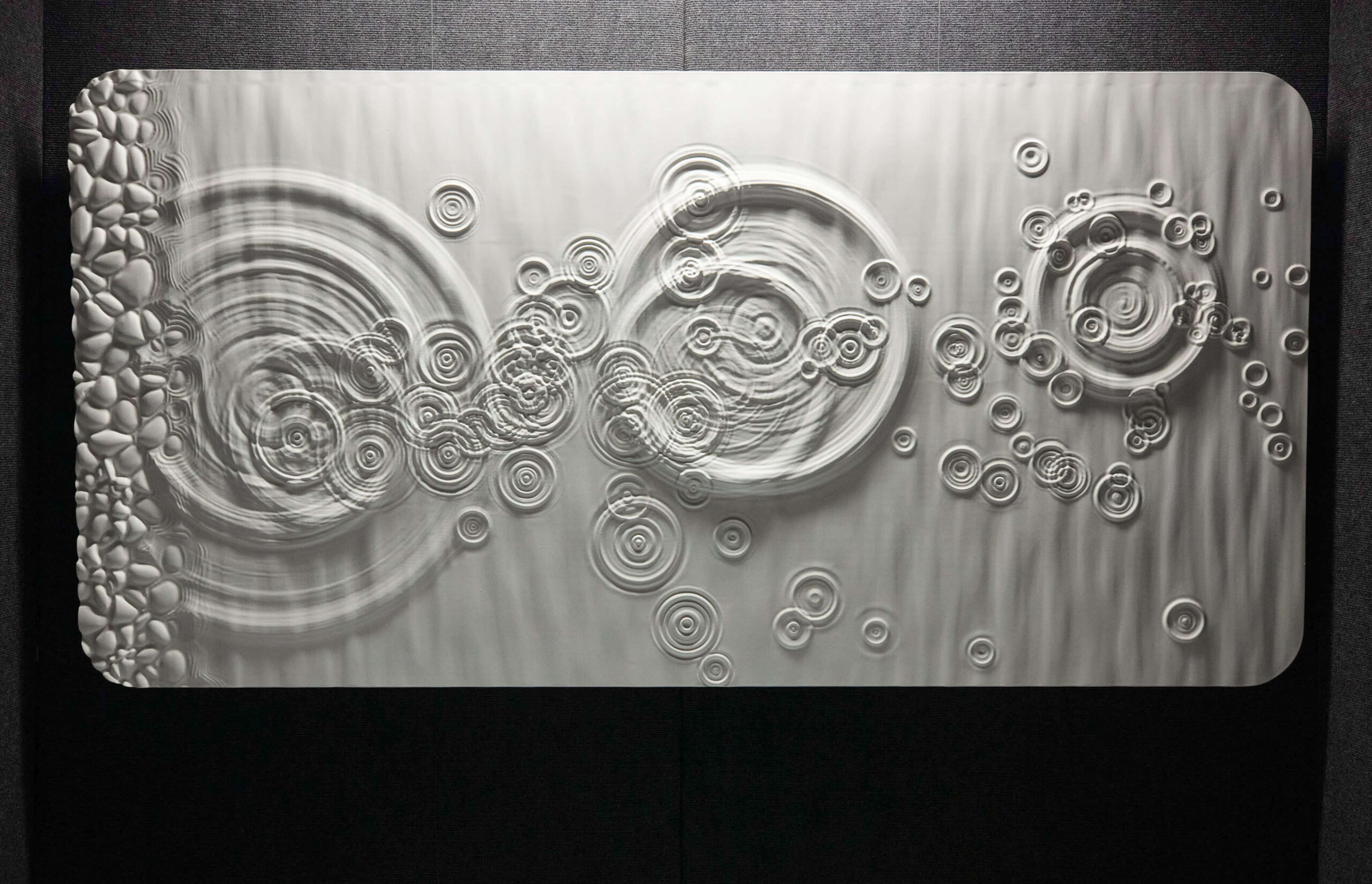
Skipping Stone on Water
This 3d-model skipping stones is an advanced water simulation using Hollywood VFX software
-an actual skipping stone was 3D-scanned and simulated making splashes in the water
-those splashes were used to generate ripples on the surface
-the material is high-density urethane carved by a CNC machine and painted
-floating frameless look or special LED frame available
-single piece or triptych
This piece took me 8 months of development to create, and involved literally 3 experts of this simulation software, 2 of whom work on Hollywood movies you’ve seen. The software involved is incredibly complicated, but I learned it for the art!


Custom Commissions
Design Your Own Section Of City
Use the form below to contact me about designing a custom section of Chicago for your home or office. Everything from the locations, colors, and wood types are completely customizable.